
‘Let It Burn’ or ‘Fight It Fast?’ How federal and state wildfire strategies really differ
When smoke rises above the Sierra foothills, Mariposa County residents rarely care which agency’s boundary the flames crossed. Residents want aircraft overhead, engines on the road and firefighters moving quickly. Yet California’s wildland fire system is divided among federal, state and local jurisdictions, each with a different mission.
That division has helped sustain a persistent accusation: CAL FIRE attacks every blaze, while federal agencies sometimes “let it burn.” The record shows a more complicated reality. Federal managers do have broader authority to use naturally ignited fire for ecological benefit, but there is no blanket federal “let it burn” policy, and both systems shift tactics as threats, terrain, weather and firefighter risk change.
CAL FIRE’s core assignment is protection of people, property and natural resources across more than 31 million acres of privately owned wildlands in State Responsibility Areas. Its operational culture emphasizes rapid initial attack. The department says its goal is to hold 95 percent of wildfires to 10 acres or less, supported by engines, hand crews, bulldozers and a large aviation fleet positioned to reach remote state-protection lands quickly.
CAL FIRE also operates as an all-hazard department and, through contracts, provides fire and emergency services to many counties, cities and districts. In Mariposa County, that structure puts state, county and volunteer resources in close daily cooperation.
Federal agencies — principally the U.S. Forest Service and National Park Service in the central Sierra — protect public lands while also managing forests, wilderness, wildlife habitat, watersheds and recreation. They respond to every reported wildfire. The Forest Service states that human-caused fires are suppressed.
A lightning-caused fire, however, may be managed with anything from immediate full suppression to confinement, point protection or close monitoring when conditions, approved land-management plans and public-safety considerations support that choice. Federal policy identifies firefighter and public safety as the first priority and recognizes fire as an essential ecological process. That second obligation is the source of much public confusion.
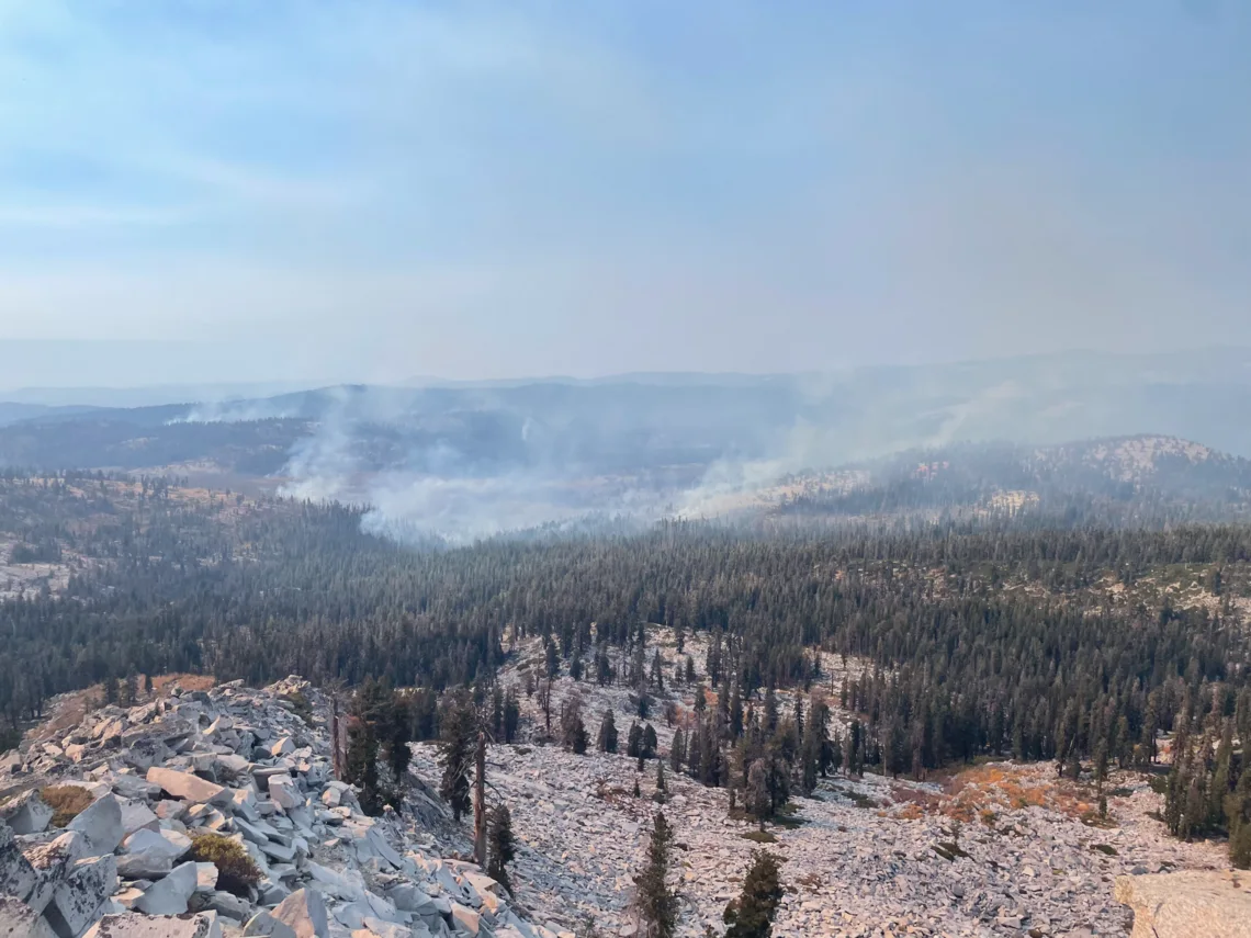
The phrase “let nature take its course” is therefore partly descriptive but often misleading. In remote wilderness, managers may allow a lightning fire to move within planned limits because low- or moderate-intensity fire can reduce accumulated fuels, recycle nutrients and improve forest resilience. That does not mean abandoning the incident. Crews may map the perimeter, model weather and fire behavior, patrol natural barriers, prepare contingency lines, protect cabins or roads and order suppression if conditions deteriorate. Yosemite says natural fires may be permitted under specific conditions in much of its wilderness, but fires threatening people or property are suppressed, and human-caused fires are attacked.
A 2023 Forest Service study further undercuts the idea of a routine “let burn” practice. Researchers examined large, lightning-caused Forest Service fires from 2009 through 2020 and found 32 incidents resembling the controversial 2021 Tamarack Fire. Only six began with strategies driven by resource objectives; most were not immediately engaged because steep terrain, dangerous snags or poor access created unacceptable firefighter exposure. Such cases represented just 3.4 percent of large lightning-caused Forest Service fires studied. The results do not prove every decision was correct, but they show that delayed direct attack is more often a safety and access decision than an attempt to sacrifice land for ecological goals.
Results cannot be compared fairly by acreage alone. CAL FIRE commonly protects populated foothills where quick containment and structure defense dominate. Federal agencies often oversee immense roadless areas where fire can spread for miles without encountering a community, and where direct line construction may expose crews to cliffs, falling trees or extreme heat.
Conversely, federal teams conduct aggressive suppression when values are immediately threatened. Yosemite’s 2022 Washburn Fire is a clear example: the National Park Service launched a full response near the Mariposa Grove, evacuated Wawona, used more than 1,700 federal, state, local and tribal responders, and contained the fire at 4,886 acres. No structures or giant sequoias were lost.
The same interagency reality appeared in Mariposa County’s largest recent emergencies. The CAL FIRE-led Detwiler Fire in 2017 burned 81,826 acres, destroyed 134 structures and damaged 21 after starting near Lake McClure. The 2018 Ferguson Fire, managed under unified command after starting on the Sierra National Forest, burned about 96,900 acres. No homes were reported destroyed, but two firefighters died during the incident, Yosemite Valley and Wawona temporarily closed, and the fire demonstrated the extraordinary hazards of steep Merced River canyon terrain. Neither outcome can be reduced to the logo on the incident command post.
Other major fires within roughly 100 miles of Mariposa underscore the range of conditions. The 2020 Creek Fire on the Sierra National Forest burned 379,895 acres in Fresno and Madera counties, destroyed 853 structures and damaged 64; investigators listed lightning as the probable cause. In 2022, the arson-caused Oak Fire near Midpines burned 19,244 acres under unified CAL FIRE–Forest Service command, destroying 193 structures and damaging 10. The Washburn Fire, meanwhile, remained below 5,000 acres with no structural loss. Together with Detwiler and Ferguson, those figures show no simple state-versus-federal pattern: ignition, wind, drought, fuel, terrain, access, nearby development and the speed of extreme fire behavior heavily influence final losses.
There are genuine philosophical differences. CAL FIRE’s public benchmark centers on fast containment, while federal land agencies must weigh suppression against long-term ecological damage and firefighter exposure. Federal managers may avoid bulldozing wilderness or sending crews beneath unstable dead trees when indirect lines, aircraft or natural barriers offer a safer option.
CAL FIRE itself also uses prescribed fire and fuel reduction, acknowledging that total fire exclusion helped create dense, hazardous landscapes. Once a major fire threatens communities, however, the systems converge: unified command, shared crews and aircraft, evacuation support, structure defense and a common national qualification system.
The fairest conclusion is that “let it burn” is a slogan, not a policy. Federal agencies sometimes manage natural fire rather than immediately surround it with control line, but only under approved plans and continuing risk assessment; they can and do order full suppression. CAL FIRE is structurally oriented toward rapid initial attack in populated and privately owned wildlands, yet it also depends on ecological treatments before flames arrive.
For Mariposa County residents, the central question should not be whether a firefighter wears a state or federal patch. It should be whether agencies explain objectives clearly, recognize changing conditions early, protect communities and make defensible decisions without exposing crews to needless danger.
Comments